Sharow Lane
Introduction
The photograph on this page of Sharow Lane by Gordon Hatton as part of the Geograph project.
The Geograph project started in 2005 with the aim of publishing, organising and preserving representative images for every square kilometre of Great Britain, Ireland and the Isle of Man.

There are currently over 7.5m images from over 14,400 individuals and you can help contribute to the project by visiting https://www.geograph.org.uk
Sharow Lane
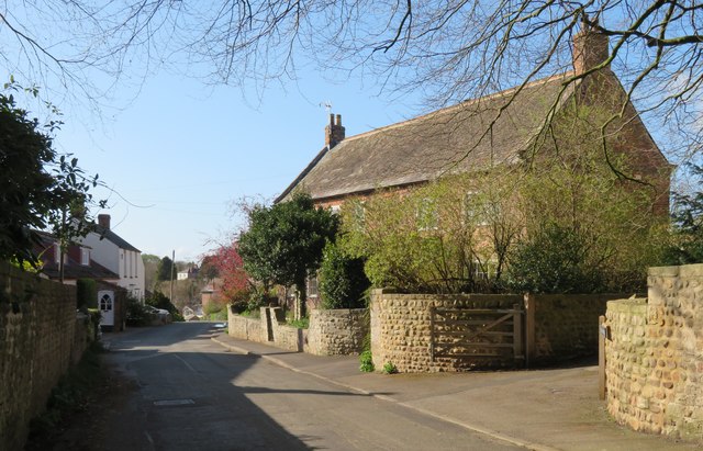
Image: © Gordon Hatton Taken: 6 Apr 2020
The main street of Sharow is now something of a backwater as through traffic in the village uses Dishforth Road which is a short distance to the north and is usually busy. The house in this shot is the Manor House which is 18th century and grade 2 listed.
Images are licensed for reuse under creativecommons.org/licenses/by-sa/2.0
Image Location


Leaflet Map data © OpenStreetMap
Latitude
54.140722
Longitude
-1.498663