Old Boundary Marker
Introduction
The photograph on this page of Old Boundary Marker by M Bardell as part of the Geograph project.
The Geograph project started in 2005 with the aim of publishing, organising and preserving representative images for every square kilometre of Great Britain, Ireland and the Isle of Man.

There are currently over 7.5m images from over 14,400 individuals and you can help contribute to the project by visiting https://www.geograph.org.uk
Old Boundary Marker
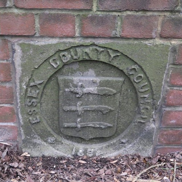
Image: © M Bardell Taken: 29 Mar 2019
Bridge Marker on east bridge parapet of King's Ford Bridge, Roman River on the B1026. LAYER DE LA HAYE parish. ESSEX COUNTY COUNCIL / (coat of arms) / 1892 in raised lettering. Milestone Society National ID: EX_LDLH01br
Images are licensed for reuse under creativecommons.org/licenses/by-sa/2.0
Image Location
Latitude
51.852517
Longitude
0.866835