Old Boundary Marker
Introduction
The photograph on this page of Old Boundary Marker by J V Nicholls as part of the Geograph project.
The Geograph project started in 2005 with the aim of publishing, organising and preserving representative images for every square kilometre of Great Britain, Ireland and the Isle of Man.

There are currently over 7.5m images from over 14,400 individuals and you can help contribute to the project by visiting https://www.geograph.org.uk
Old Boundary Marker
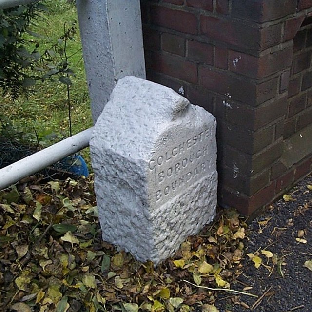
Image: © J V Nicholls Taken: 17 Oct 2005
Parish Boundary Marker against northeast end of bridge parapet of King's Ford Bridge on B1026 Layer Road. On boundary of Colchester Borough and Layer de la Haye parish. Inscribed COLCHESTER / BOROUGH / BOUNDARY. Milestone Society National ID: EX_COLDLH01pb
Images are licensed for reuse under creativecommons.org/licenses/by-sa/2.0
Image Location
Latitude
51.852543
Longitude
0.866866