Into The Turnstiles from Albany Street, Crindau, Newport
Introduction
The photograph on this page of Into The Turnstiles from Albany Street, Crindau, Newport by Jaggery as part of the Geograph project.
The Geograph project started in 2005 with the aim of publishing, organising and preserving representative images for every square kilometre of Great Britain, Ireland and the Isle of Man.

There are currently over 7.5m images from over 14,400 individuals and you can help contribute to the project by visiting https://www.geograph.org.uk
Into The Turnstiles from Albany Street, Crindau, Newport
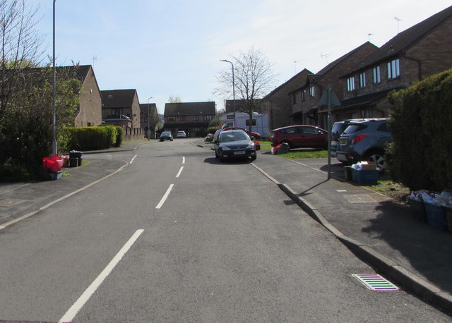
Image: © Jaggery Taken: 7 Apr 2020
This cul-de-sac named The Turnstiles is on the site formerly occupied by Rexville, the football ground of Lovell's Athletic F.C., founded in 1918, disbanded in 1969.
Images are licensed for reuse under creativecommons.org/licenses/by-sa/2.0
Image Location
Latitude
51.599775
Longitude
-2.993133