Path onto River Lea by Swan & Pike Pool
Introduction
The photograph on this page of Path onto River Lea by Swan & Pike Pool by Sean Davis as part of the Geograph project.
The Geograph project started in 2005 with the aim of publishing, organising and preserving representative images for every square kilometre of Great Britain, Ireland and the Isle of Man.

There are currently over 7.5m images from over 14,400 individuals and you can help contribute to the project by visiting https://www.geograph.org.uk
Path onto River Lea by Swan & Pike Pool
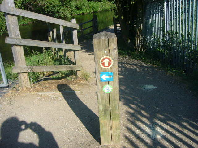
Image: © Sean Davis Taken: 21 May 2011
This is immediately south of the car park for Swan & Pike Pool. It is on the London Loop (see https://tfl.gov.uk/modes/walking/loop-walk ) and the london Green Belt Way.
Images are licensed for reuse under creativecommons.org/licenses/by-sa/2.0
Image Location
Latitude
51.665791
Longitude
-0.017114