Above Boulter's Lock
Introduction
The photograph on this page of Above Boulter's Lock by Sean Davis as part of the Geograph project.
The Geograph project started in 2005 with the aim of publishing, organising and preserving representative images for every square kilometre of Great Britain, Ireland and the Isle of Man.

There are currently over 7.5m images from over 14,400 individuals and you can help contribute to the project by visiting https://www.geograph.org.uk
Above Boulter's Lock
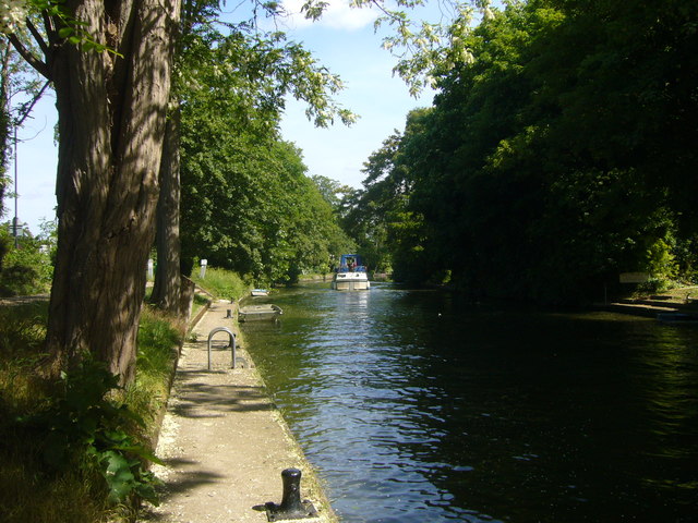
Image: © Sean Davis Taken: 21 May 2011
Boat heading up the River Thames towards Cliveden Reach. The right bank is that of Boulter's Island. This is on the Thames Path National Trail and the London Green Belt Way.
Images are licensed for reuse under creativecommons.org/licenses/by-sa/2.0
Image Location
Latitude
51.535718
Longitude
-0.699922