Bus lane, Scholes
Introduction
The photograph on this page of Bus lane, Scholes by habiloid as part of the Geograph project.
The Geograph project started in 2005 with the aim of publishing, organising and preserving representative images for every square kilometre of Great Britain, Ireland and the Isle of Man.

There are currently over 7.5m images from over 14,400 individuals and you can help contribute to the project by visiting https://www.geograph.org.uk
Bus lane, Scholes
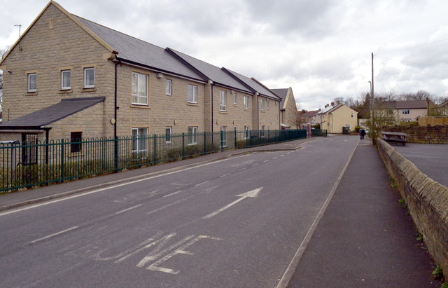
Image: © habiloid Taken: 4 Apr 2020
Scholes terminal is the bus stop at the end of this road. The road, for buses only, runs behind the shops on Westfield Lane (out of sight on the right).
Images are licensed for reuse under creativecommons.org/licenses/by-sa/2.0
Image Location
Latitude
53.729327
Longitude
-1.750326