Countryside by Redhill Roundabout
Introduction
The photograph on this page of Countryside by Redhill Roundabout by eswales as part of the Geograph project.
The Geograph project started in 2005 with the aim of publishing, organising and preserving representative images for every square kilometre of Great Britain, Ireland and the Isle of Man.

There are currently over 7.5m images from over 14,400 individuals and you can help contribute to the project by visiting https://www.geograph.org.uk
Countryside by Redhill Roundabout
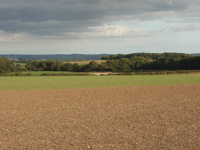
Image: © eswales Taken: 23 Sep 2016
Arable farmland sloping gently downwards to trees close to the A 4106. The image is a view from a spot on a public footpath a little to the south of Ty-erfin.
Images are licensed for reuse under creativecommons.org/licenses/by-sa/2.0
Image Location
Latitude
51.503327
Longitude
-3.644901