Culvert on Brierdene Burn
Introduction
The photograph on this page of Culvert on Brierdene Burn by Geoff Holland as part of the Geograph project.
The Geograph project started in 2005 with the aim of publishing, organising and preserving representative images for every square kilometre of Great Britain, Ireland and the Isle of Man.

There are currently over 7.5m images from over 14,400 individuals and you can help contribute to the project by visiting https://www.geograph.org.uk
Culvert on Brierdene Burn
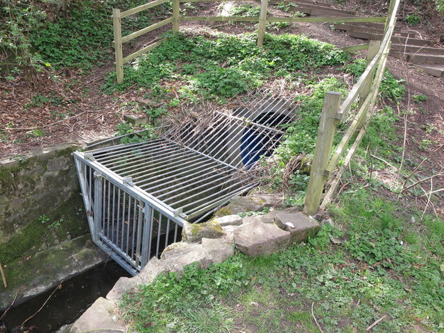
Image: © Geoff Holland Taken: 5 Apr 2020
This small steel cage prevents unauthorised access to the culvert through which the Brierdene Burn flows from the opposite side of Astley Drive. For a selection of detailed free to download walking routes in the area visit www.northtynesidewalks.co.uk
Images are licensed for reuse under creativecommons.org/licenses/by-sa/2.0
Image Location
Latitude
55.05768
Longitude
-1.463012