Lane past West Buckland School
Introduction
The photograph on this page of Lane past West Buckland School by Derek Harper as part of the Geograph project.
The Geograph project started in 2005 with the aim of publishing, organising and preserving representative images for every square kilometre of Great Britain, Ireland and the Isle of Man.

There are currently over 7.5m images from over 14,400 individuals and you can help contribute to the project by visiting https://www.geograph.org.uk
Lane past West Buckland School
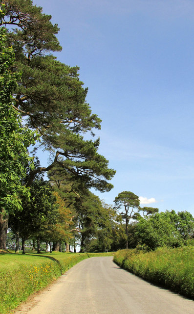
Image: © Derek Harper Taken: 22 Jun 2019
Looking right from Image The lane carries both the Tarka Trail and the Macmillan Way West.
Images are licensed for reuse under creativecommons.org/licenses/by-sa/2.0
Image Location
Latitude
51.066508
Longitude
-3.90337