Laleston Stones Trail Junction with A473
Introduction
The photograph on this page of Laleston Stones Trail Junction with A473 by Steve Barnes as part of the Geograph project.
The Geograph project started in 2005 with the aim of publishing, organising and preserving representative images for every square kilometre of Great Britain, Ireland and the Isle of Man.

There are currently over 7.5m images from over 14,400 individuals and you can help contribute to the project by visiting https://www.geograph.org.uk
Laleston Stones Trail Junction with A473
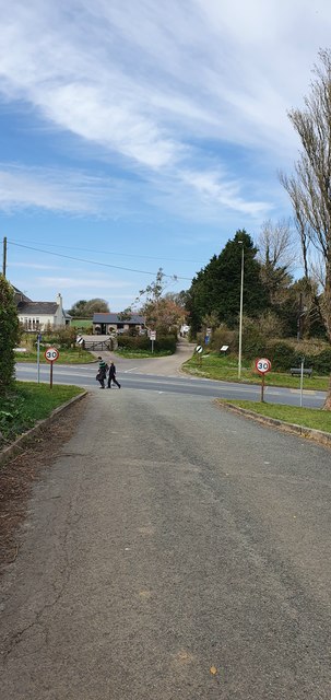
Image: © Steve Barnes Taken: 5 Apr 2020
This is a section of the Ffordd-y-Gyfrauth which was a medieval trackway.
Images are licensed for reuse under creativecommons.org/licenses/by-sa/2.0
Image Location
Latitude
51.506813
Longitude
-3.614738