Cabrini House - flats
Introduction
The photograph on this page of Cabrini House - flats by Brian Whittle as part of the Geograph project.
The Geograph project started in 2005 with the aim of publishing, organising and preserving representative images for every square kilometre of Great Britain, Ireland and the Isle of Man.

There are currently over 7.5m images from over 14,400 individuals and you can help contribute to the project by visiting https://www.geograph.org.uk
Cabrini House - flats
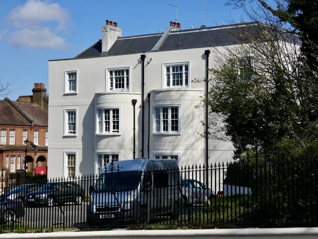
Image: © Brian Whittle Taken: 4 Apr 2020
Original house was part of the adjacent convent but was converted and extended in 2008. Compare with this photo showing the conversion in progress; https://www.geograph.org.uk/photo/731933
Images are licensed for reuse under creativecommons.org/licenses/by-sa/2.0
Image Location
Latitude
51.449847
Longitude
-0.056018