Scaffolding around historic church
Introduction
The photograph on this page of Scaffolding around historic church by Basher Eyre as part of the Geograph project.
The Geograph project started in 2005 with the aim of publishing, organising and preserving representative images for every square kilometre of Great Britain, Ireland and the Isle of Man.

There are currently over 7.5m images from over 14,400 individuals and you can help contribute to the project by visiting https://www.geograph.org.uk
Scaffolding around historic church
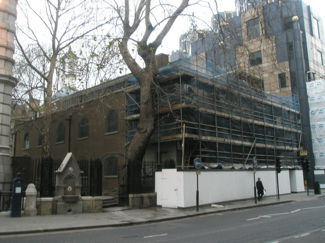
Image: © Basher Eyre Taken: 28 Dec 2007
A little sprucing up for St Botolph without Aldersgate- quite understandable when you are over 300 years old.
Images are licensed for reuse under creativecommons.org/licenses/by-sa/2.0
Image Location
Latitude
51.516703
Longitude
-0.096845