High Leys Farm, near Belvoir, Leicestershire
Introduction
The photograph on this page of High Leys Farm, near Belvoir, Leicestershire by Kate Jewell as part of the Geograph project.
The Geograph project started in 2005 with the aim of publishing, organising and preserving representative images for every square kilometre of Great Britain, Ireland and the Isle of Man.

There are currently over 7.5m images from over 14,400 individuals and you can help contribute to the project by visiting https://www.geograph.org.uk
High Leys Farm, near Belvoir, Leicestershire
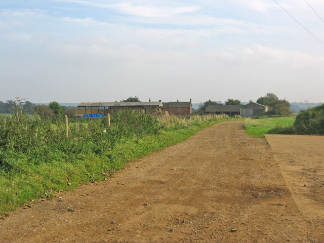
Image: © Kate Jewell Taken: 11 Oct 2005
Orange soil and flat land on top of the Terrace Hills ridge.
Images are licensed for reuse under creativecommons.org/licenses/by-sa/2.0
Image Location
Latitude
52.877625
Longitude
-0.802347