New development, Dishforth
Introduction
The photograph on this page of New development, Dishforth by Gordon Hatton as part of the Geograph project.
The Geograph project started in 2005 with the aim of publishing, organising and preserving representative images for every square kilometre of Great Britain, Ireland and the Isle of Man.

There are currently over 7.5m images from over 14,400 individuals and you can help contribute to the project by visiting https://www.geograph.org.uk
New development, Dishforth
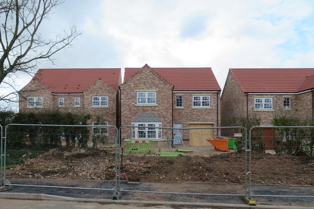
Image: © Gordon Hatton Taken: 3 Apr 2020
This is not the only development in Dishforth in 2020 as the village expands, due no doubt to its proximity to the major road system. One wonders how the two executive properties in the centre and left of this shot were built quite so close together.
Images are licensed for reuse under creativecommons.org/licenses/by-sa/2.0
Image Location


Leaflet Map data © OpenStreetMap
Latitude
54.154543
Longitude
-1.414433