A pint in each?
Introduction
The photograph on this page of A pint in each? by Gordon Hatton as part of the Geograph project.
The Geograph project started in 2005 with the aim of publishing, organising and preserving representative images for every square kilometre of Great Britain, Ireland and the Isle of Man.

There are currently over 7.5m images from over 14,400 individuals and you can help contribute to the project by visiting https://www.geograph.org.uk
A pint in each?
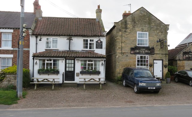
Image: © Gordon Hatton Taken: 3 Apr 2020
Sadly a difficult prospect at the time this photo was taken due to temporary closure of all pubs and restaurants across the country. However it is good to see that the two pubs still exist side by side in Dishforth.
Images are licensed for reuse under creativecommons.org/licenses/by-sa/2.0
Image Location


Leaflet Map data © OpenStreetMap
Latitude
54.151676
Longitude
-1.41631