The aptly named Flatmoor Field near Wisbech St Mary
Introduction
The photograph on this page of The aptly named Flatmoor Field near Wisbech St Mary by Richard Humphrey as part of the Geograph project.
The Geograph project started in 2005 with the aim of publishing, organising and preserving representative images for every square kilometre of Great Britain, Ireland and the Isle of Man.

There are currently over 7.5m images from over 14,400 individuals and you can help contribute to the project by visiting https://www.geograph.org.uk
The aptly named Flatmoor Field near Wisbech St Mary
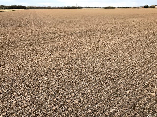
Image: © Richard Humphrey Taken: 2 Apr 2020
After weeks of heavy rain with many fields partially flooded farmers are at last able to cultivate and drill their crops thanks to the last 2 weeks being dry, sunny and windy.
Images are licensed for reuse under creativecommons.org/licenses/by-sa/2.0
Image Location
Latitude
52.666855
Longitude
0.109361