Public footpath descending towards the A48 between Redhill Roundabout and Stormy Down
Introduction
The photograph on this page of Public footpath descending towards the A48 between Redhill Roundabout and Stormy Down by eswales as part of the Geograph project.
The Geograph project started in 2005 with the aim of publishing, organising and preserving representative images for every square kilometre of Great Britain, Ireland and the Isle of Man.

There are currently over 7.5m images from over 14,400 individuals and you can help contribute to the project by visiting https://www.geograph.org.uk
Public footpath descending towards the A48 between Redhill Roundabout and Stormy Down
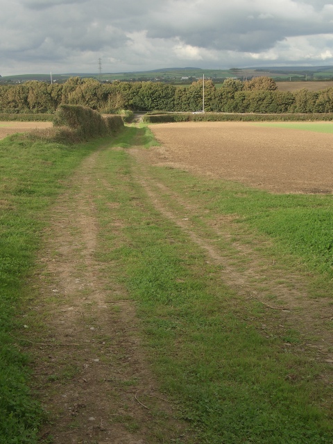
Image: © eswales Taken: 23 Sep 2016
The final two hundred or so metres of a public footpath which has run northwards from the edge of Tythegston.
Images are licensed for reuse under creativecommons.org/licenses/by-sa/2.0
Image Location
Latitude
51.507193
Longitude
-3.651323