Outbuildings at the end of Tottington Drive
Introduction
The photograph on this page of Outbuildings at the end of Tottington Drive by Ian Hawfinch as part of the Geograph project.
The Geograph project started in 2005 with the aim of publishing, organising and preserving representative images for every square kilometre of Great Britain, Ireland and the Isle of Man.

There are currently over 7.5m images from over 14,400 individuals and you can help contribute to the project by visiting https://www.geograph.org.uk
Outbuildings at the end of Tottington Drive
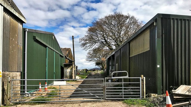
Image: © Ian Hawfinch Taken: 2 Apr 2020
These look agricultural, but I don't see any farm name on the OS map. Maybe they're connected with the farm at South Tottington Sands? 'Farmhouse Caravan and Camping' is also hereabouts.
Images are licensed for reuse under creativecommons.org/licenses/by-sa/2.0
Image Location
Latitude
50.903178
Longitude
-0.268607