Chiltern Hills above Wilton Farm
Introduction
The photograph on this page of Chiltern Hills above Wilton Farm by Sean Davis as part of the Geograph project.
The Geograph project started in 2005 with the aim of publishing, organising and preserving representative images for every square kilometre of Great Britain, Ireland and the Isle of Man.

There are currently over 7.5m images from over 14,400 individuals and you can help contribute to the project by visiting https://www.geograph.org.uk
Chiltern Hills above Wilton Farm
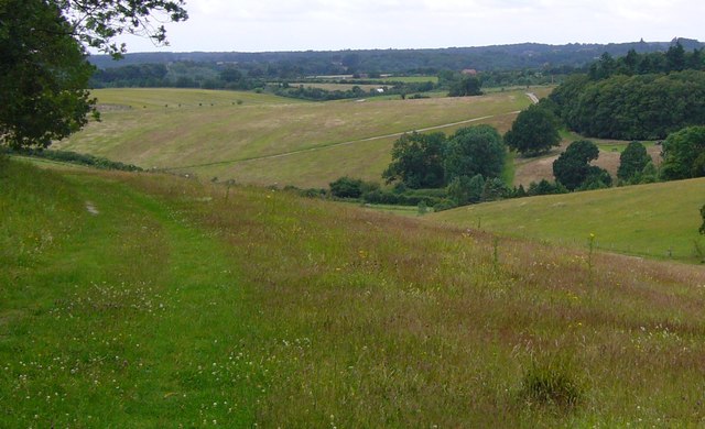
Image: © Sean Davis Taken: 6 Jul 2007
Looking along the path from Bloom Wood to Wilton Farm at Little Marlow and south over the Chiltern Hills towards the River Thames. This is on the route of the London Green Belt Way.
Images are licensed for reuse under creativecommons.org/licenses/by-sa/2.0
Image Location
Latitude
51.594254
Longitude
-0.746109