Emerging crop near St Albans
Introduction
The photograph on this page of Emerging crop near St Albans by Bill Boaden as part of the Geograph project.
The Geograph project started in 2005 with the aim of publishing, organising and preserving representative images for every square kilometre of Great Britain, Ireland and the Isle of Man.

There are currently over 7.5m images from over 14,400 individuals and you can help contribute to the project by visiting https://www.geograph.org.uk
Emerging crop near St Albans
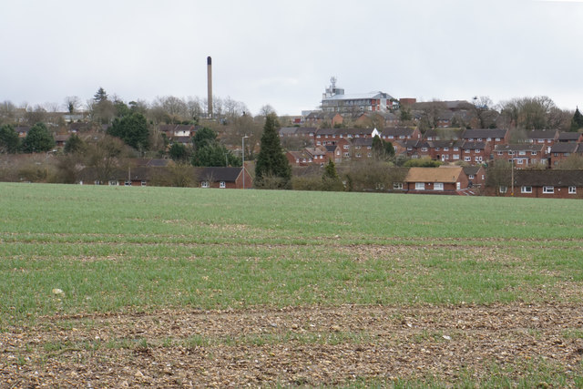
Image: © Bill Boaden Taken: 29 Feb 2020
Looking over to the Townsend suburb. St Albans City Hospital is very prominent on the rise.
Images are licensed for reuse under creativecommons.org/licenses/by-sa/2.0
Image Location
Latitude
51.76031
Longitude
-0.353098