Holy Name Hall
Introduction
The photograph on this page of Holy Name Hall by Helen Iwanczuk as part of the Geograph project.
The Geograph project started in 2005 with the aim of publishing, organising and preserving representative images for every square kilometre of Great Britain, Ireland and the Isle of Man.

There are currently over 7.5m images from over 14,400 individuals and you can help contribute to the project by visiting https://www.geograph.org.uk
Holy Name Hall
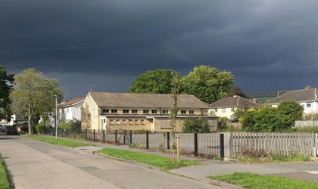
Image: © Helen Iwanczuk Taken: 25 Aug 2018
A former church, which has recently been demolished to make way for new housing.
Images are licensed for reuse under creativecommons.org/licenses/by-sa/2.0
Image Location
Latitude
51.908675
Longitude
-2.049668