Gas Marker, Billings Lane
Introduction
The photograph on this page of Gas Marker, Billings Lane by Des Blenkinsopp as part of the Geograph project.
The Geograph project started in 2005 with the aim of publishing, organising and preserving representative images for every square kilometre of Great Britain, Ireland and the Isle of Man.

There are currently over 7.5m images from over 14,400 individuals and you can help contribute to the project by visiting https://www.geograph.org.uk
Gas Marker, Billings Lane
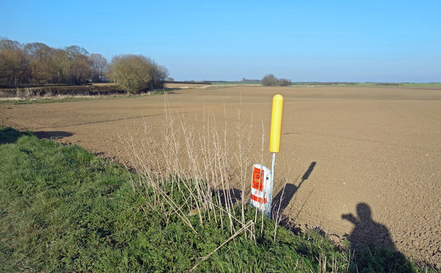
Image: © Des Blenkinsopp Taken: 25 Mar 2020
Most of TA1451 is fields with a short length of Billings Lane in the south east corner being the only access.
Images are licensed for reuse under creativecommons.org/licenses/by-sa/2.0
Image Location
Latitude
53.945043
Longitude
-0.249822