Runnymede and Cooper's Hill
Introduction
The photograph on this page of Runnymede and Cooper's Hill by Sean Davis as part of the Geograph project.
The Geograph project started in 2005 with the aim of publishing, organising and preserving representative images for every square kilometre of Great Britain, Ireland and the Isle of Man.

There are currently over 7.5m images from over 14,400 individuals and you can help contribute to the project by visiting https://www.geograph.org.uk
Runnymede and Cooper's Hill
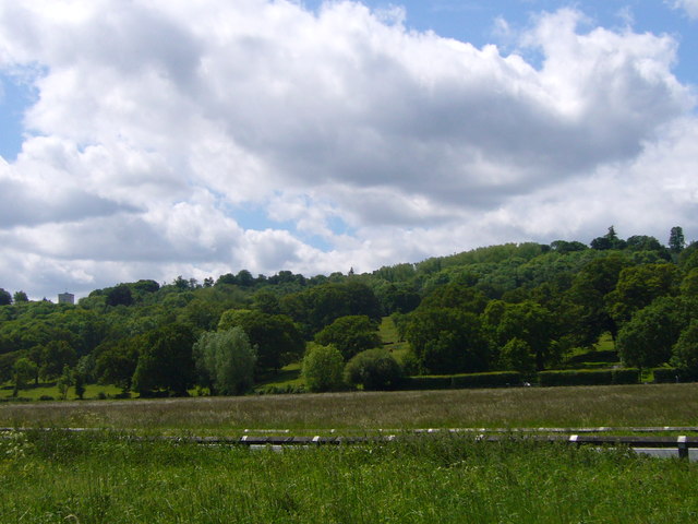
Image: © Sean Davis Taken: 22 May 2009
The wide meadow at Runnymede and Cooper's Hill from the Thames Path. The Magna Carta Memorial is on the very left at the bottom of the hill, but is mostly obscured by a tree. The top of the Air Forces Memorial is visible on the left at the top of the hill. For more info see https://www.nationaltrust.org.uk/runnymede-and-ankerwycke
Images are licensed for reuse under creativecommons.org/licenses/by-sa/2.0
Image Location
Latitude
51.440443
Longitude
-0.567522