Housing in Rookery Lane by Goldthorn Hill, Wolverhampton
Introduction
The photograph on this page of Housing in Rookery Lane by Goldthorn Hill, Wolverhampton by Roger Kidd as part of the Geograph project.
The Geograph project started in 2005 with the aim of publishing, organising and preserving representative images for every square kilometre of Great Britain, Ireland and the Isle of Man.

There are currently over 7.5m images from over 14,400 individuals and you can help contribute to the project by visiting https://www.geograph.org.uk
Housing in Rookery Lane by Goldthorn Hill, Wolverhampton
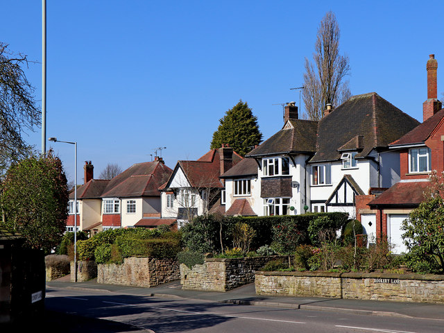
Image: © Roger Kidd Taken: 25 Mar 2020
Looking northeast from the junction with the A4039 Goldthorn Hill, this group of houses is by the B4161 Rookery Lane.
Images are licensed for reuse under creativecommons.org/licenses/by-sa/2.0
Image Location
Latitude
52.568493
Longitude
-2.139379