Stile on public footpath, Tythegston
Introduction
The photograph on this page of Stile on public footpath, Tythegston by eswales as part of the Geograph project.
The Geograph project started in 2005 with the aim of publishing, organising and preserving representative images for every square kilometre of Great Britain, Ireland and the Isle of Man.

There are currently over 7.5m images from over 14,400 individuals and you can help contribute to the project by visiting https://www.geograph.org.uk
Stile on public footpath, Tythegston
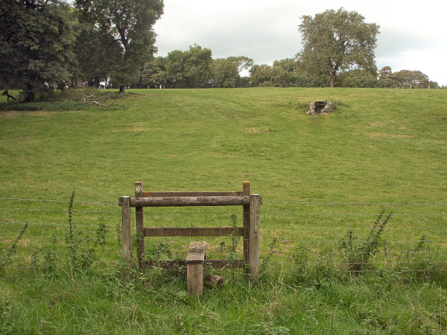
Image: © eswales Taken: 23 Sep 2016
The stile lies on a public footpath which runs northwards to the A48 from a spot just to the north west of Tythegston. A well is seen on the hillside beyond.
Images are licensed for reuse under creativecommons.org/licenses/by-sa/2.0
Image Location
Latitude
51.499484
Longitude
-3.650915