The White House
Introduction
The photograph on this page of The White House by Ian Capper as part of the Geograph project.
The Geograph project started in 2005 with the aim of publishing, organising and preserving representative images for every square kilometre of Great Britain, Ireland and the Isle of Man.

There are currently over 7.5m images from over 14,400 individuals and you can help contribute to the project by visiting https://www.geograph.org.uk
The White House
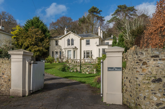
Image: © Ian Capper Taken: 8 Feb 2020
Victorian villa on Old Beer Road, marked as The Elms on the 1889 1:2,500 map, Whinhurst on the 1904 edition and White House on the 1936 and subsequent editions.
Images are licensed for reuse under creativecommons.org/licenses/by-sa/2.0
Image Location
Latitude
50.701987
Longitude
-3.085627