Royal Mail building, Mill Street West
Introduction
The photograph on this page of Royal Mail building, Mill Street West by Roger Templeman as part of the Geograph project.
The Geograph project started in 2005 with the aim of publishing, organising and preserving representative images for every square kilometre of Great Britain, Ireland and the Isle of Man.

There are currently over 7.5m images from over 14,400 individuals and you can help contribute to the project by visiting https://www.geograph.org.uk
Royal Mail building, Mill Street West
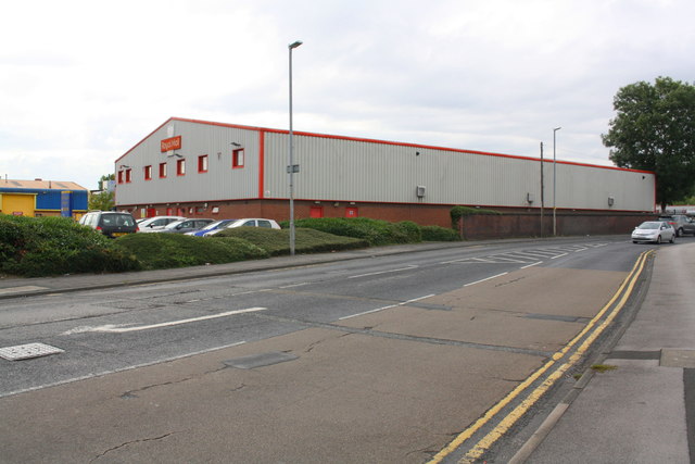
Image: © Roger Templeman Taken: 5 Sep 2018
Ordnance Survey records indicate that in 1963 there was a benchmark levelled at 38.512m above Newlyn Datum on the roadside wall, close to where the present wall ends.
Images are licensed for reuse under creativecommons.org/licenses/by-sa/2.0
Image Location
Latitude
53.687774
Longitude
-1.634128