Scout Hall in Stonehouse
Introduction
The photograph on this page of Scout Hall in Stonehouse by Jaggery as part of the Geograph project.
The Geograph project started in 2005 with the aim of publishing, organising and preserving representative images for every square kilometre of Great Britain, Ireland and the Isle of Man.

There are currently over 7.5m images from over 14,400 individuals and you can help contribute to the project by visiting https://www.geograph.org.uk
Scout Hall in Stonehouse
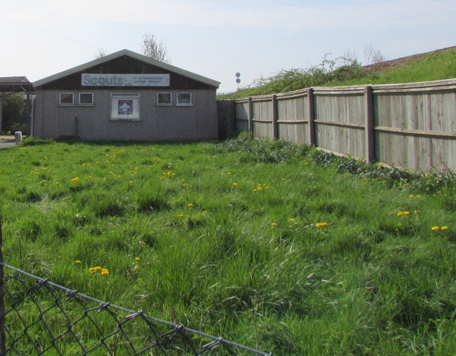
Image: © Jaggery Taken: 22 Apr 2018
The northwest side of this https://www.geograph.org.uk/photo/3250543 scout hall. The name on the wall in April 2018 is 1ST STONEHOUSE SCOUT GROUP. A railway embankment is behind the fence.
Images are licensed for reuse under creativecommons.org/licenses/by-sa/2.0
Image Location
Latitude
51.751806
Longitude
-2.285185