Cobbler's Walk comes up to Chestnut Avenue
Introduction
The photograph on this page of Cobbler's Walk comes up to Chestnut Avenue by Sean Davis as part of the Geograph project.
The Geograph project started in 2005 with the aim of publishing, organising and preserving representative images for every square kilometre of Great Britain, Ireland and the Isle of Man.

There are currently over 7.5m images from over 14,400 individuals and you can help contribute to the project by visiting https://www.geograph.org.uk
Cobbler's Walk comes up to Chestnut Avenue
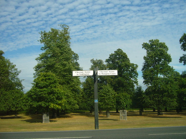
Image: © Sean Davis Taken: 31 Jul 2010
Direction signs at t-junction of Cobbler's Walk and Chestnut Avenue in Bushy Park. Chestnut Avenue is a mile long, running from Teddington Gate to Loin Gate at Hampton Court. It bisects the park and was laid out by Christopher Wren, in 1713 during the reign of William III and Mary II. As you can see it is heavily lined by chestnut trees.
Images are licensed for reuse under creativecommons.org/licenses/by-sa/2.0
Image Location
Latitude
51.417227
Longitude
-0.334293