Jeremy Road in Goldthorn Park, Wolverhampton
Introduction
The photograph on this page of Jeremy Road in Goldthorn Park, Wolverhampton by Roger Kidd as part of the Geograph project.
The Geograph project started in 2005 with the aim of publishing, organising and preserving representative images for every square kilometre of Great Britain, Ireland and the Isle of Man.

There are currently over 7.5m images from over 14,400 individuals and you can help contribute to the project by visiting https://www.geograph.org.uk
Jeremy Road in Goldthorn Park, Wolverhampton
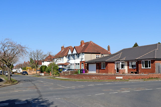
Image: © Roger Kidd Taken: 25 Mar 2020
This is looking north along Jeremy Road. Rosemary Crescent West leads off to the left. Park Avenue leads off to the right. Behind the camera, Jeremy Road leads directly into Colton Hills Community School grounds.
Images are licensed for reuse under creativecommons.org/licenses/by-sa/2.0
Image Location


Leaflet Map data © OpenStreetMap
Latitude
52.562388
Longitude
-2.132279