Pavement over Maidenhead Bridge
Introduction
The photograph on this page of Pavement over Maidenhead Bridge by Sean Davis as part of the Geograph project.
The Geograph project started in 2005 with the aim of publishing, organising and preserving representative images for every square kilometre of Great Britain, Ireland and the Isle of Man.

There are currently over 7.5m images from over 14,400 individuals and you can help contribute to the project by visiting https://www.geograph.org.uk
Pavement over Maidenhead Bridge
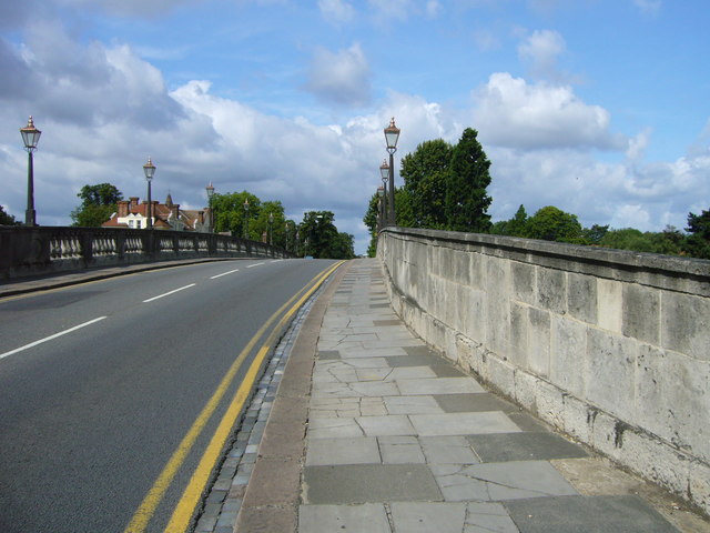
Image: © Sean Davis Taken: 28 Jul 2007
The narrow pavement over Maidenhead Road Bridge. This is on the route of the Thames Path National Trail. The road is the A4, Great West Road, and this is most likely its narrowest point. The bridge was completed in 1777, but doesn't seem to have been widened since.
Images are licensed for reuse under creativecommons.org/licenses/by-sa/2.0
Image Location
Latitude
51.523993
Longitude
-0.701596