Sunbank Lane, Hale Barns
Introduction
The photograph on this page of Sunbank Lane, Hale Barns by Anthony O'Neil as part of the Geograph project.
The Geograph project started in 2005 with the aim of publishing, organising and preserving representative images for every square kilometre of Great Britain, Ireland and the Isle of Man.

There are currently over 7.5m images from over 14,400 individuals and you can help contribute to the project by visiting https://www.geograph.org.uk
Sunbank Lane, Hale Barns
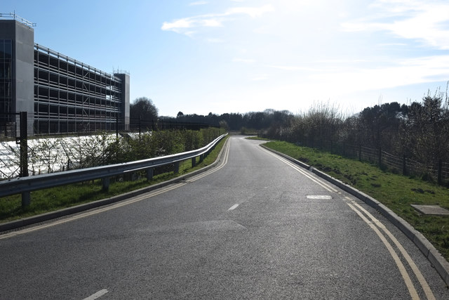
Image: © Anthony O'Neil Taken: 22 Mar 2020
Not long ago, a rural backwater to the south east of Hale Barns village, but now overtaken by the ever-burgeoning spread of Manchester International Airport. At its eastern end, it used to intersect the Wilmslow Road at the neighbouring parish of Ringway - the hamlet which gave its name to the original airport. To the south-east of the road is Sunbank Wood - a once-quiet nature reserve - bordering the valley of the River Bollin.
Images are licensed for reuse under creativecommons.org/licenses/by-sa/2.0
Image Location
Latitude
53.358893
Longitude
-2.298664