Ness Islands
Introduction
The photograph on this page of Ness Islands by valenta as part of the Geograph project.
The Geograph project started in 2005 with the aim of publishing, organising and preserving representative images for every square kilometre of Great Britain, Ireland and the Isle of Man.

There are currently over 7.5m images from over 14,400 individuals and you can help contribute to the project by visiting https://www.geograph.org.uk
Ness Islands
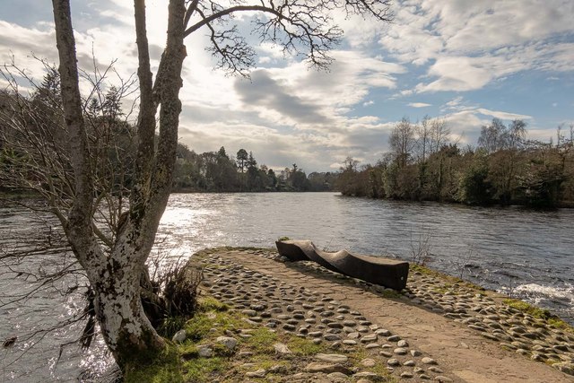
Image: © valenta Taken: 6 Mar 2020
The Ness Islands are popular both with tourists and locals. A wooden seat allows one view the River Ness as it cuts around the islands
Images are licensed for reuse under creativecommons.org/licenses/by-sa/2.0
Image Location
Latitude
57.461314
Longitude
-4.234539