Craigdhu Burn
Introduction
The photograph on this page of Craigdhu Burn by Richard Sutcliffe as part of the Geograph project.
The Geograph project started in 2005 with the aim of publishing, organising and preserving representative images for every square kilometre of Great Britain, Ireland and the Isle of Man.

There are currently over 7.5m images from over 14,400 individuals and you can help contribute to the project by visiting https://www.geograph.org.uk
Craigdhu Burn
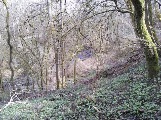
Image: © Richard Sutcliffe Taken: 29 Mar 2020
At this time of year the burn is easily seen in amongst the scrubby woodland behind houses on Rowan Drive. In a few weeks time the leaves on the trees will oscure much of this view. The burn cuts through the Craigdhu Wedge, which is recognised as a Local Nature Conservation Site by East Dunbartonshire Council.
Images are licensed for reuse under creativecommons.org/licenses/by-sa/2.0
Image Location
Latitude
55.930834
Longitude
-4.322517