Fferm ger Darowen / Farm near Darowen
Introduction
The photograph on this page of Fferm ger Darowen / Farm near Darowen by Ian Medcalf as part of the Geograph project.
The Geograph project started in 2005 with the aim of publishing, organising and preserving representative images for every square kilometre of Great Britain, Ireland and the Isle of Man.

There are currently over 7.5m images from over 14,400 individuals and you can help contribute to the project by visiting https://www.geograph.org.uk
Fferm ger Darowen / Farm near Darowen
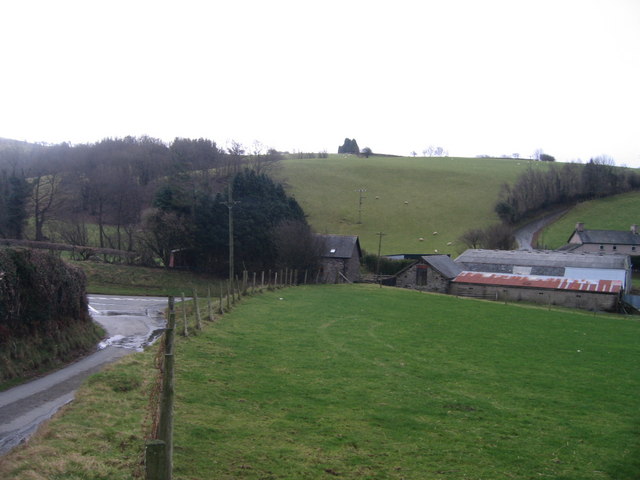
Image: © Ian Medcalf Taken: 29 Dec 2007
Fferm rhwng Darowen a Comins Coch / Farm between Darowen and Comins Coch.
Images are licensed for reuse under creativecommons.org/licenses/by-sa/2.0
Image Location


Leaflet Map data © OpenStreetMap
Latitude
52.606428
Longitude
-3.726077