Redvelopment
Introduction
The photograph on this page of Redvelopment by Bob Harvey as part of the Geograph project.
The Geograph project started in 2005 with the aim of publishing, organising and preserving representative images for every square kilometre of Great Britain, Ireland and the Isle of Man.

There are currently over 7.5m images from over 14,400 individuals and you can help contribute to the project by visiting https://www.geograph.org.uk
Redvelopment
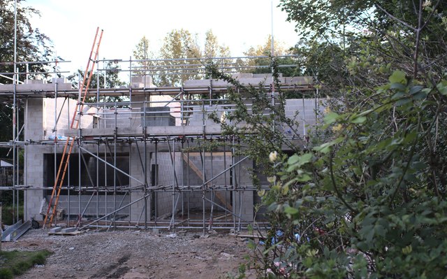
Image: © Bob Harvey Taken: 10 Sep 2019
A perfectly nice 1930s detached house is being replaced by something new, much closer to the road. This will presumably free up the plot for a private rear garden.
Images are licensed for reuse under creativecommons.org/licenses/by-sa/2.0
Image Location
Latitude
53.422532
Longitude
-2.260287