Brightling 5b Bridleway
Introduction
The photograph on this page of Brightling 5b Bridleway by Simon Carey as part of the Geograph project.
The Geograph project started in 2005 with the aim of publishing, organising and preserving representative images for every square kilometre of Great Britain, Ireland and the Isle of Man.

There are currently over 7.5m images from over 14,400 individuals and you can help contribute to the project by visiting https://www.geograph.org.uk
Brightling 5b Bridleway
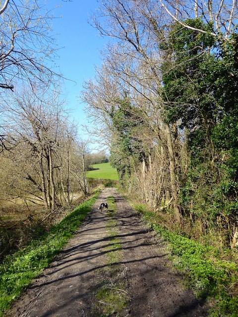
Image: © Simon Carey Taken: 22 Mar 2020
Here crossing an old embankment next to a pond formed by the extraction of clay for a nearby former brickworks, see Image The bridleway links Brickyard Lane to Perryman's Farm.
Images are licensed for reuse under creativecommons.org/licenses/by-sa/2.0
Image Location
Latitude
50.975588
Longitude
0.401473