Brickyard Cottage
Introduction
The photograph on this page of Brickyard Cottage by Simon Carey as part of the Geograph project.
The Geograph project started in 2005 with the aim of publishing, organising and preserving representative images for every square kilometre of Great Britain, Ireland and the Isle of Man.

There are currently over 7.5m images from over 14,400 individuals and you can help contribute to the project by visiting https://www.geograph.org.uk
Brickyard Cottage
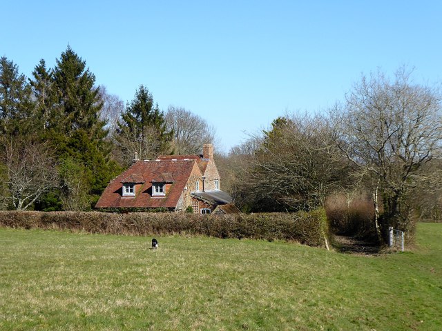
Image: © Simon Carey Taken: 22 Mar 2020
A reminder of the former brickworks that once operated here. The works but not the cottage are marked on Brightling's 1838 tithe map with the cottage appearing on the 1874 OS map. The works still appeared on a 1930 edition but not thereafter.
Images are licensed for reuse under creativecommons.org/licenses/by-sa/2.0
Image Location
Latitude
50.974596
Longitude
0.401565