Wot's This 'Ere Then?
Introduction
The photograph on this page of Wot's This 'Ere Then? by Glyn Baker as part of the Geograph project.
The Geograph project started in 2005 with the aim of publishing, organising and preserving representative images for every square kilometre of Great Britain, Ireland and the Isle of Man.

There are currently over 7.5m images from over 14,400 individuals and you can help contribute to the project by visiting https://www.geograph.org.uk
Wot's This 'Ere Then?
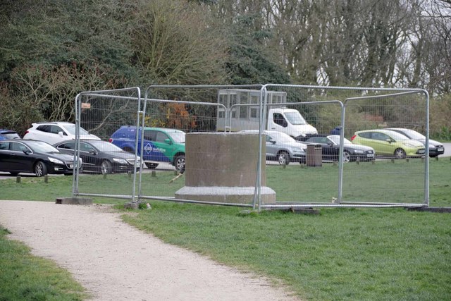
Image: © Glyn Baker Taken: 28 Mar 2020
I wonder what on earth is being constructed here? The structure looks like an upended concrete drainage pipe filled with concrete.
Images are licensed for reuse under creativecommons.org/licenses/by-sa/2.0
Image Location


Leaflet Map data © OpenStreetMap
Latitude
51.554271
Longitude
0.425777