Railway to St Albans
Introduction
The photograph on this page of Railway to St Albans by Bill Boaden as part of the Geograph project.
The Geograph project started in 2005 with the aim of publishing, organising and preserving representative images for every square kilometre of Great Britain, Ireland and the Isle of Man.

There are currently over 7.5m images from over 14,400 individuals and you can help contribute to the project by visiting https://www.geograph.org.uk
Railway to St Albans
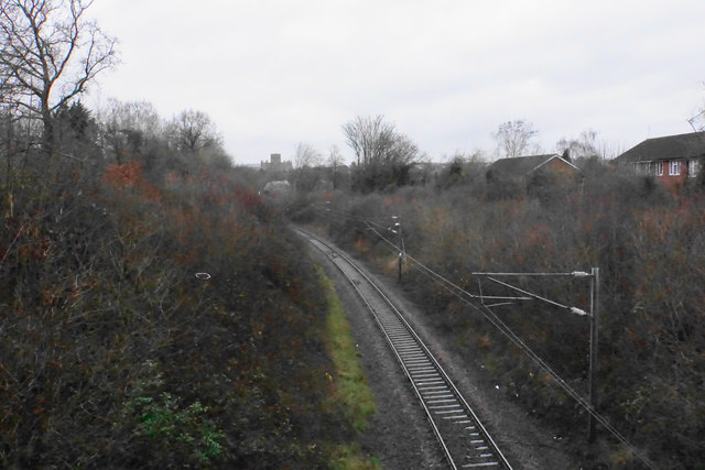
Image: © Bill Boaden Taken: 28 Feb 2020
The line leads to Abbey Station. The cathedral can be seen in the distance.
Images are licensed for reuse under creativecommons.org/licenses/by-sa/2.0
Image Location
Latitude
51.738922
Longitude
-0.334902