Lane from St Mary's Church to Cemetery
Introduction
The photograph on this page of Lane from St Mary's Church to Cemetery by Sean Davis as part of the Geograph project.
The Geograph project started in 2005 with the aim of publishing, organising and preserving representative images for every square kilometre of Great Britain, Ireland and the Isle of Man.

There are currently over 7.5m images from over 14,400 individuals and you can help contribute to the project by visiting https://www.geograph.org.uk
Lane from St Mary's Church to Cemetery
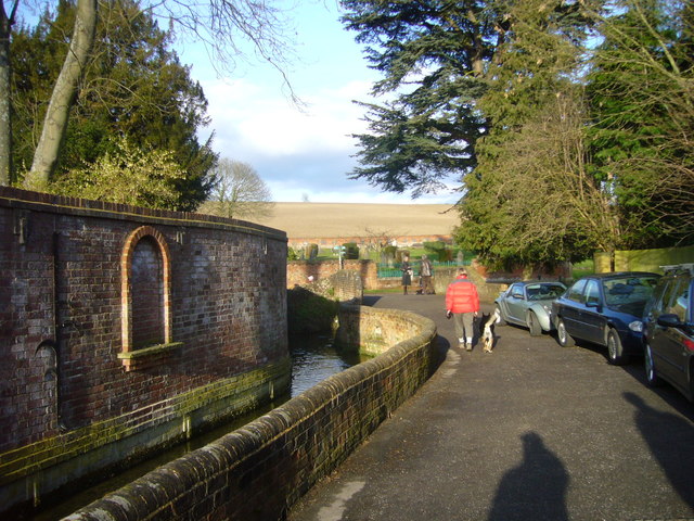
Image: © Sean Davis Taken: 13 Mar 2011
This lane from St Mary's to the cemetery is a busy public footpath. At this point the River Misbourne is walled, looks neat and is very narrow. The building on the opposite side of the river is Badminton Court, once property of the Weller Brewery and now offices.
Images are licensed for reuse under creativecommons.org/licenses/by-sa/2.0
Image Location
Latitude
51.667386
Longitude
-0.614977