Path, Bangor
Introduction
The photograph on this page of Path, Bangor by Rossographer as part of the Geograph project.
The Geograph project started in 2005 with the aim of publishing, organising and preserving representative images for every square kilometre of Great Britain, Ireland and the Isle of Man.

There are currently over 7.5m images from over 14,400 individuals and you can help contribute to the project by visiting https://www.geograph.org.uk
Path, Bangor
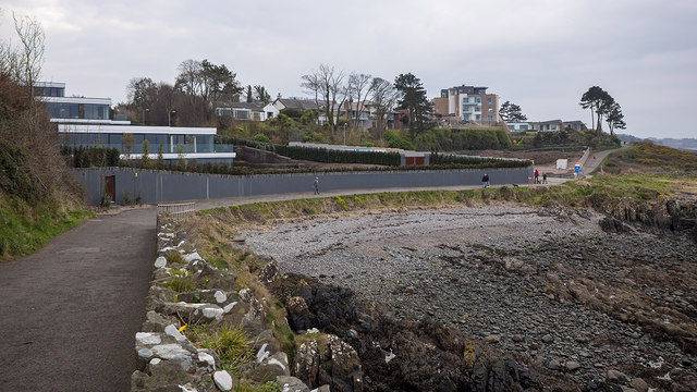
Image: © Rossographer Taken: 25 Mar 2020
The North Down Coastal Path at Brompton, Bangor. The houses last seen in Image now look virtually complete. Taken during the Covid-19 pandemic, there were still a fair number of walkers out but most maintaining a distance from others.
Images are licensed for reuse under creativecommons.org/licenses/by-sa/2.0
Image Location
Latitude
54.667531
Longitude
-5.684055