Derelict farm building
Introduction
The photograph on this page of Derelict farm building by Richard Dorrell as part of the Geograph project.
The Geograph project started in 2005 with the aim of publishing, organising and preserving representative images for every square kilometre of Great Britain, Ireland and the Isle of Man.

There are currently over 7.5m images from over 14,400 individuals and you can help contribute to the project by visiting https://www.geograph.org.uk
Derelict farm building
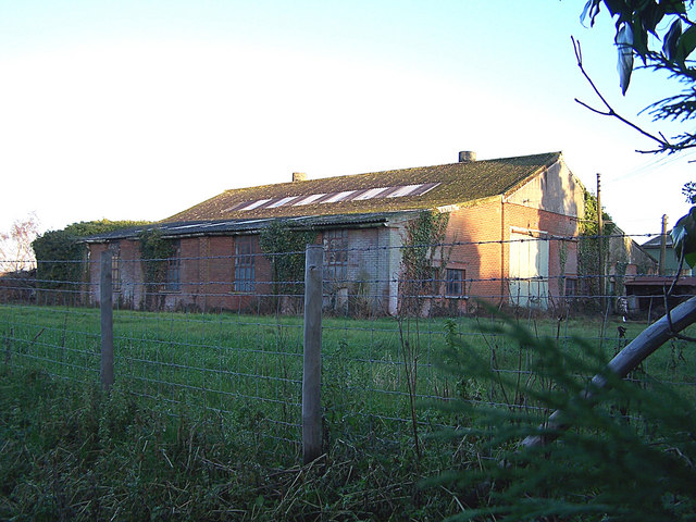
Image: © Richard Dorrell Taken: 29 Dec 2007
Located opposite Newington Primary School, a planning notice nearby indicates that this unused barn is shortly to be demolished and possibly replaced by "light industrial units or storage" - the Parish Council is strongly opposing this proposal!
Images are licensed for reuse under creativecommons.org/licenses/by-sa/2.0
Image Location
Latitude
51.357422
Longitude
0.669038