Site Investigations in East Horndon
Introduction
The photograph on this page of Site Investigations in East Horndon by Glyn Baker as part of the Geograph project.
The Geograph project started in 2005 with the aim of publishing, organising and preserving representative images for every square kilometre of Great Britain, Ireland and the Isle of Man.

There are currently over 7.5m images from over 14,400 individuals and you can help contribute to the project by visiting https://www.geograph.org.uk
Site Investigations in East Horndon
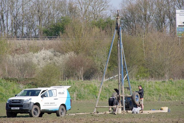
Image: © Glyn Baker Taken: 27 Mar 2020
My guess is that someone is looking to build some houses here in the future and is seeing if the ground conditions are favourable. They are clearly not drilling for oil!
Images are licensed for reuse under creativecommons.org/licenses/by-sa/2.0
Image Location
Latitude
51.577309
Longitude
0.358878