Halas House
Introduction
The photograph on this page of Halas House by Philip Halling as part of the Geograph project.
The Geograph project started in 2005 with the aim of publishing, organising and preserving representative images for every square kilometre of Great Britain, Ireland and the Isle of Man.

There are currently over 7.5m images from over 14,400 individuals and you can help contribute to the project by visiting https://www.geograph.org.uk
Halas House
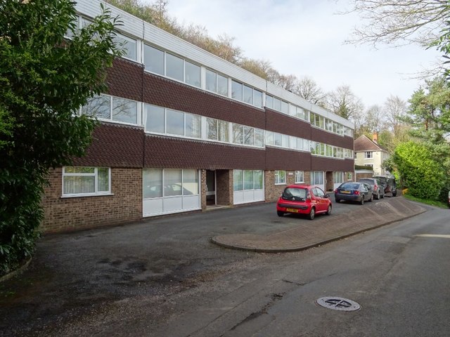
Image: © Philip Halling Taken: 21 Mar 2020
Apartments dating from the late 1960s or early 1970s on Holywell Road in Malvern Wells.
Images are licensed for reuse under creativecommons.org/licenses/by-sa/2.0
Image Location
Latitude
52.082452
Longitude
-2.333841