Glenhove Road flats, Cumbernauld, 1963
Introduction
The photograph on this page of Glenhove Road flats, Cumbernauld, 1963 by Alan Murray-Rust as part of the Geograph project.
The Geograph project started in 2005 with the aim of publishing, organising and preserving representative images for every square kilometre of Great Britain, Ireland and the Isle of Man.

There are currently over 7.5m images from over 14,400 individuals and you can help contribute to the project by visiting https://www.geograph.org.uk
Glenhove Road flats, Cumbernauld, 1963
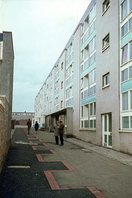
Image: © Alan Murray-Rust Taken: Unknown
Cumbernauld was one of the generation of new towns of the 1960s, very new at the time of this visit, which was made as a student study tour. This rather drear canyon is part of one of the main pedestrian routes through the Carbrain section of the town.
Images are licensed for reuse under creativecommons.org/licenses/by-sa/2.0
Image Location
Latitude
55.947953
Longitude
-3.980477