Sweeps Ditch from Gresham Road
Introduction
The photograph on this page of Sweeps Ditch from Gresham Road by Sean Davis as part of the Geograph project.
The Geograph project started in 2005 with the aim of publishing, organising and preserving representative images for every square kilometre of Great Britain, Ireland and the Isle of Man.

There are currently over 7.5m images from over 14,400 individuals and you can help contribute to the project by visiting https://www.geograph.org.uk
Sweeps Ditch from Gresham Road
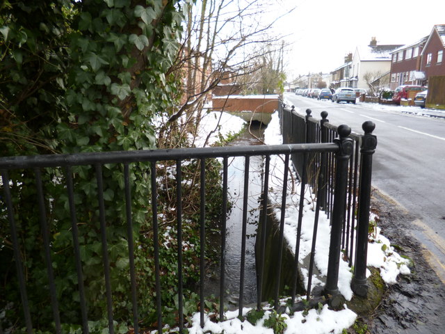
Image: © Sean Davis Taken: 21 Jan 2013
Sweeps Ditch flows in front of houses along Budebury Road. Photo taken from Gresham Road, note the snow on the ground. Sweeps Ditch is an ancient man-made mill stream which flowed through Staines. In Roman & Medieval Times it formed the western and northern boundary of Town Island (sometimes referred to as High Street Island).
Images are licensed for reuse under creativecommons.org/licenses/by-sa/2.0
Image Location
Latitude
51.430837
Longitude
-0.505418