(Covid-19_31 Exercise) A13 Flyover and Jean's Shrine
Introduction
The photograph on this page of (Covid-19_31 Exercise) A13 Flyover and Jean's Shrine by Glyn Baker as part of the Geograph project.
The Geograph project started in 2005 with the aim of publishing, organising and preserving representative images for every square kilometre of Great Britain, Ireland and the Isle of Man.

There are currently over 7.5m images from over 14,400 individuals and you can help contribute to the project by visiting https://www.geograph.org.uk
(Covid-19_31 Exercise) A13 Flyover and Jean's Shrine
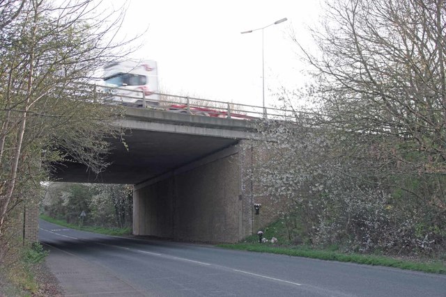
Image: © Glyn Baker Taken: 24 Mar 2020
The wayside shrine on Stifford Clays Rd remembers a grandmother named Jean. There are no dates or other details save family endearments and fresh flowers. On the wall opposite there is a brick dedicated to an Image To go to the start of this trip visit Image For the next square see Image
Images are licensed for reuse under creativecommons.org/licenses/by-sa/2.0
Image Location
Latitude
51.505316
Longitude
0.329795