(Covid-19_22 Exercise) Thurrock Airfield
Introduction
The photograph on this page of (Covid-19_22 Exercise) Thurrock Airfield by Glyn Baker as part of the Geograph project.
The Geograph project started in 2005 with the aim of publishing, organising and preserving representative images for every square kilometre of Great Britain, Ireland and the Isle of Man.

There are currently over 7.5m images from over 14,400 individuals and you can help contribute to the project by visiting https://www.geograph.org.uk
(Covid-19_22 Exercise) Thurrock Airfield
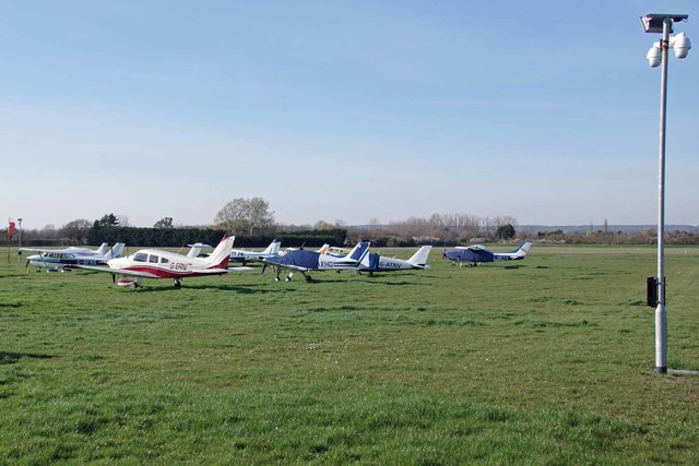
Image: © Glyn Baker Taken: 24 Mar 2020
It has been quite a while since I checked out the flightline here see Image . The airfield is the base for a general aviation maintenance facility see http://www.aeroservices.co.uk/ For the start of this trip go to Image For the next square see Image
Images are licensed for reuse under creativecommons.org/licenses/by-sa/2.0
Image Location
Latitude
51.535563
Longitude
0.364217